My French Store
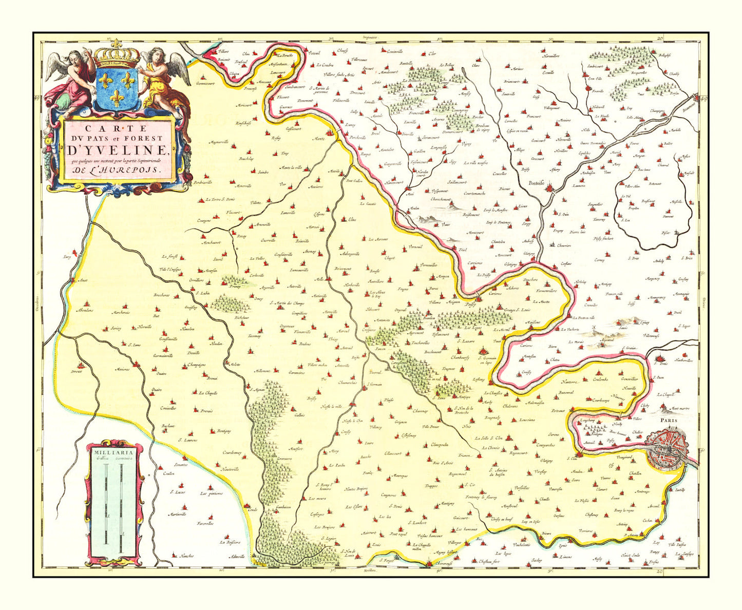
Vintage Map of Paris Region, France 1665 — Antique 17th Century Île-de-France Print
Vintage Map of Paris Region, France 1665 — Antique 17th Century Île-de-France Print
Couldn't load pickup availability
Discover the charm of 17th-century France with our beautifully restored vintage map from 1665. This piece isn’t just about geographical precision; it's a window into history, offering a glimpse into another time. Our talented team has ensured every detail is captured and enhanced, making it an ideal gift for history buffs or anyone with an appreciation for local heritage.
Whether you're decorating your home or office, this map adds a touch of classic elegance that’s sure to spark conversations. Each print is crafted by hand with care and precision, ensuring a high-quality finish that stands out. Our framed prints feature solid wood stained frames ready to hang right away, while our unframed versions are printed on high-quality matte paper for those who prefer custom framing options.
Crafted on polycotton canvas stretched over solid wood bars, the durability matches its visual appeal. Enrich your space and connect deeper with France's rich past through this timeless piece. Perfectly constructed and thoughtfully designed for lovers of art and history alike.
Return and refund policy
Return and refund policy
If you are unhappy with your print for any reason after placing an order, you may return the item to us for a full refund within 30 days of the date of purchase. If you prefer to exchange your item, you may exchange the item by shipping it back to us within 30 days of the date of purchase.
Share