My French Store
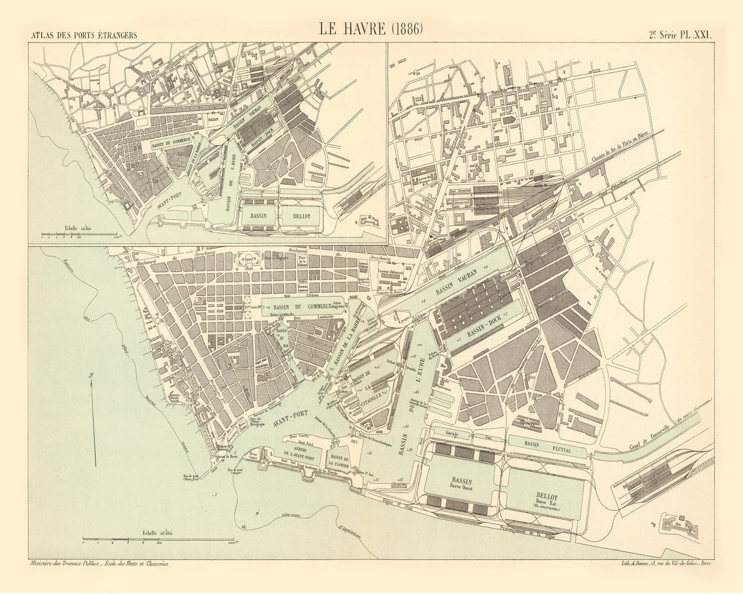
Vintage Map of Le Havre, France 1886 — Antique 19th Century Port City Print
Vintage Map of Le Havre, France 1886 — Antique 19th Century Port City Print
Couldn't load pickup availability
Discover the charm and history of Le Havre with this beautifully restored vintage map from 1886. Perfect for history buffs or anyone with a love for French culture, this map is a unique way to celebrate the rich past of this coastal city in France.
The artwork retains its historical detail while benefiting from digital restoration, bringing out its intricate lines and subtle details. Whether you choose our framed option, crafted by hand with solid wood stained frames, or opt for an unframed version on high-quality matte paper, this print is ready to be enjoyed right out of the box.
It's not just a piece of decor; it’s a conversation starter that adds personality to any space—be it your home or office. The attention to quality ensures that each piece reflects both traditional craftsmanship and timeless elegance. This map makes an excellent gift idea that merges local history with classic style.
Return and refund policy
Return and refund policy
If you are unhappy with your print for any reason after placing an order, you may return the item to us for a full refund within 30 days of the date of purchase. If you prefer to exchange your item, you may exchange the item by shipping it back to us within 30 days of the date of purchase.
Share