My French Store
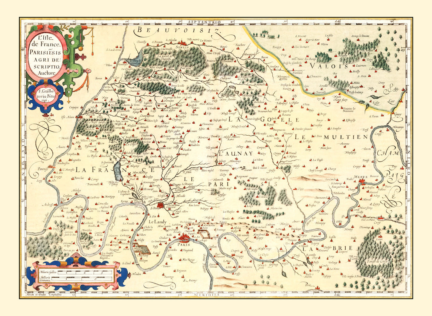
Vintage Map of Isle de France 1623 — Antique 17th Century Paris Region Print
Vintage Map of Isle de France 1623 — Antique 17th Century Paris Region Print
Couldn't load pickup availability
Take a journey through time with our stunning vintage map print of France from 1623. This piece, digitally restored to capture its historic essence, is perfect for history buffs or anyone who appreciates classic decor. The high-quality materials used ensure that whether you choose framed, canvas, or unframed options, you'll be receiving a product that's built to last.
Our ready-to-hang prints come handmade with care. The solid wood frames are stained to bring out the natural beauty of the materials and ensure they match any home or office decor seamlessly. For those who prefer a more modern look, our polycotton canvas prints also make an excellent choice and are stretched on durable wooden bars.
Unframed prints offer flexibility in how you showcase this beautiful art piece and are produced on premium matte paper that enhances every intricate detail of this historic map. Perfect as a gift or conversation starter for visitors curious about local French history from centuries past.
Return and refund policy
Return and refund policy
If you are unhappy with your print for any reason after placing an order, you may return the item to us for a full refund within 30 days of the date of purchase. If you prefer to exchange your item, you may exchange the item by shipping it back to us within 30 days of the date of purchase.
Share