My French Store
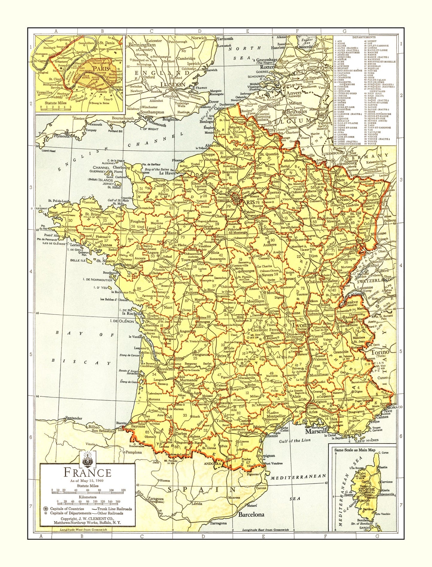
Vintage Map of France 1943 — WWII Era Antique Cartography Print
Vintage Map of France 1943 — WWII Era Antique Cartography Print
Couldn't load pickup availability
Discover a piece of history with our digitally restored 1943 vintage map from France. This meticulously crafted print beautifully captures the essence of local history and is an ideal gift for history buffs and decor enthusiasts alike. Whether you’re looking to add a touch of tradition to your home or office, this stylish map not only enhances any space but also sparks intriguing conversations.
Each piece is carefully prepared by hand, ensuring top-quality results. Choose from prints on durable polycotton canvas, stretched over solid wood bars for a ready-to-hang option, or select an unframed version printed on high-quality matte paper—perfect if you prefer customizing your own framing style.
The frames are constructed from solid wood and tastefully stained to complement the map's classic appeal. With its combination of thoughtful craftsmanship and historical charm, this vintage print makes for an engaging addition to any collection and adds that special touch wherever it's displayed. Ready right out of the box, it’s never been easier to appreciate a slice of French heritage in your own space.
Return and refund policy
Return and refund policy
If you are unhappy with your print for any reason after placing an order, you may return the item to us for a full refund within 30 days of the date of purchase. If you prefer to exchange your item, you may exchange the item by shipping it back to us within 30 days of the date of purchase.
Share