My French Store
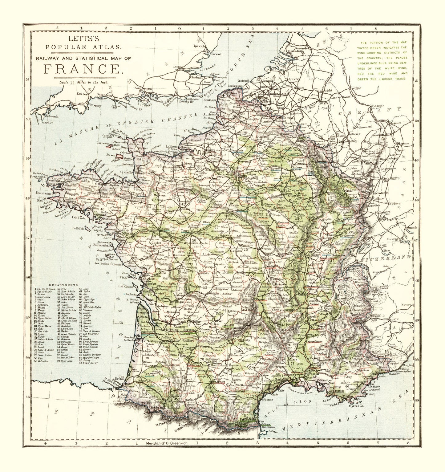
Vintage Map of France 1883 — Antique 19th Century National Cartography Print
Vintage Map of France 1883 — Antique 19th Century National Cartography Print
Couldn't load pickup availability
Step into a piece of French history with our beautifully restored 1883 vintage map print. Capturing the timeless charm of a bygone era, this piece makes for a thoughtful gift for history enthusiasts or anyone with a love for local lore. It's crafted meticulously, reflecting our commitment to quality and detail in every aspect—from the solid wood frames that are expertly stained, to the hand-stretched polycotton canvas that securely wraps around sturdy stretcher bars.
This elegant map print is ready to hang right out of the box, making it a breeze to add some classic flair to any room in your home or office. Unframed versions are printed on high-quality matte paper, offering flexibility if you prefer adding your own touch. Whichever option you choose, this map seamlessly blends tradition with sophistication and serves as an intriguing conversation starter for guests who appreciate artful nostalgia.
Return and refund policy
Return and refund policy
If you are unhappy with your print for any reason after placing an order, you may return the item to us for a full refund within 30 days of the date of purchase. If you prefer to exchange your item, you may exchange the item by shipping it back to us within 30 days of the date of purchase.
Share