My French Store
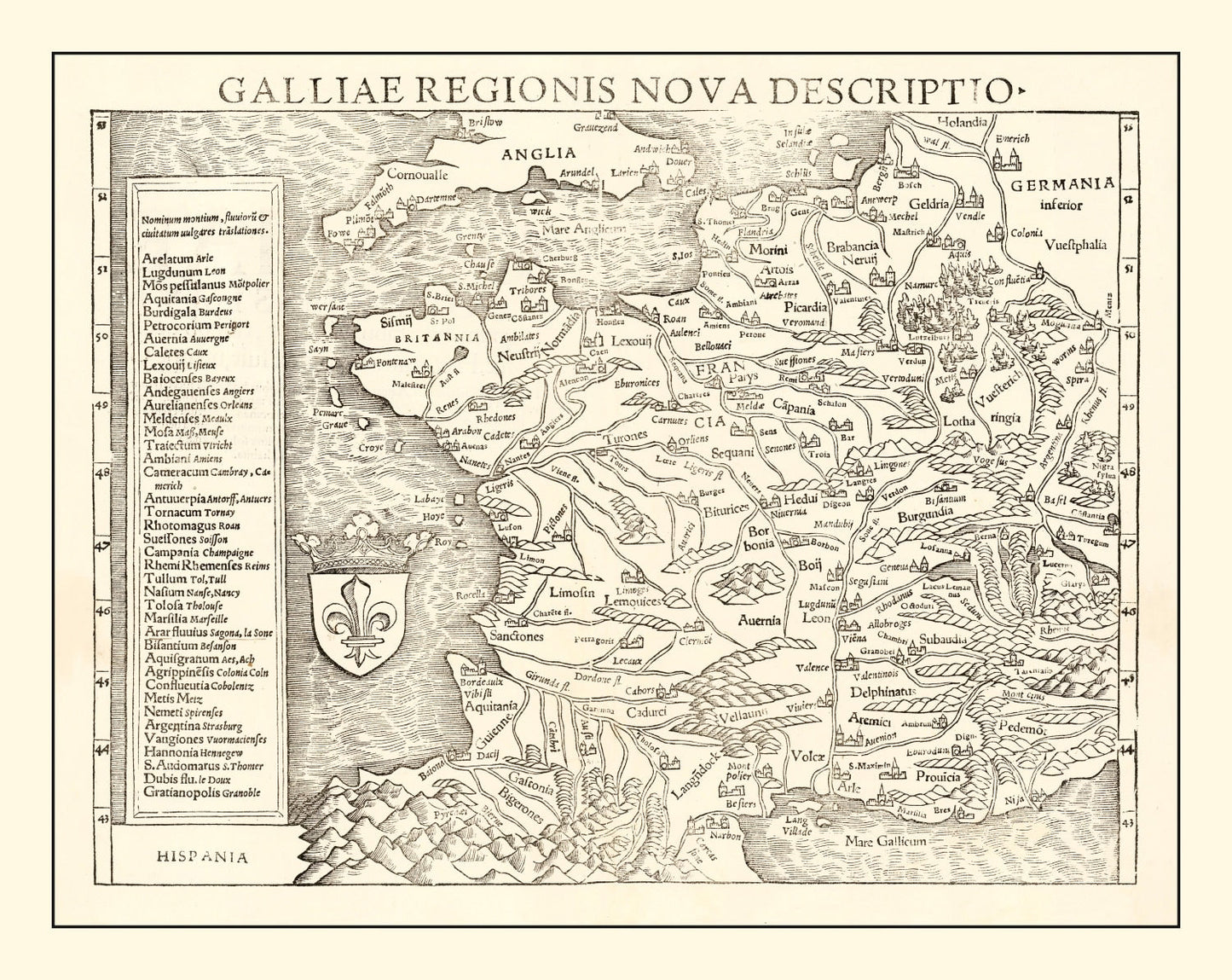
Vintage Map of France 1550 — Antique Renaissance Era Cartography Print
Vintage Map of France 1550 — Antique Renaissance Era Cartography Print
Couldn't load pickup availability
Uncover a piece of history with our stunning 1550 vintage map of France, meticulously restored to its original splendor. This map is more than just a decorative piece; it's a window into the past, perfect for anyone fascinated by local history or seeking something special for their home or office. We've taken care to use high-quality materials in every piece. The prints come ready to hang, so you can instantly enjoy this unique artifact.
Whether you choose an elegantly framed option with solid wood and stain or prefer the tactile quality of our hand-stretched canvas on polycotton, you're getting something made with careful attention to detail. If unframed suits your style better, we've got that too—printed on high-quality matte paper for a classic look.
This map carries stories and insights from centuries past and makes a fantastic conversation starter that celebrates the charm of historical cartography. Discover why it’s more than just art—it’s heritage brought back to life.
Return and refund policy
Return and refund policy
If you are unhappy with your print for any reason after placing an order, you may return the item to us for a full refund within 30 days of the date of purchase. If you prefer to exchange your item, you may exchange the item by shipping it back to us within 30 days of the date of purchase.
Share