My French Store
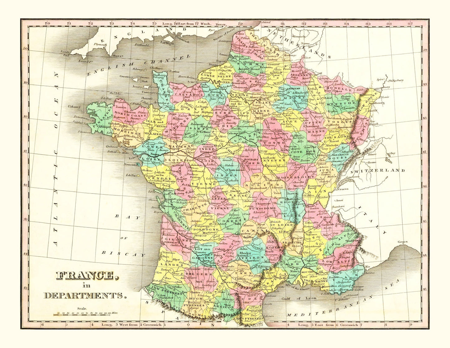
Old Map of France in Départements 1831 — Antique Administrative Cartography Print
Old Map of France in Départements 1831 — Antique Administrative Cartography Print
Couldn't load pickup availability
Discover a piece of history with this beautifully restored vintage map from 1831, showcasing the intriguing landscapes of France. Perfect for anyone with a love for local history and an eye for traditional decor, this map is as educational as it is stylish. Whether gracing the walls of your office or living room, it offers both a touch of class and a delightful conversation starter.
Each print reflects exceptional craftsmanship; choose from our selection of hand-stretched canvas prints mounted on solid wood stretcher bars or elegant unframed prints on high-quality matte paper. For those who prefer framed art, our frames are constructed by hand using solid wood that gives them a warm finish.
This thoughtful piece arrives ready to hang, straight out of the box—perfect if you're gifting it to a fellow history enthusiast or simply treating yourself to something special. Let this classic map bring an element of timeless charm into your space while celebrating France’s rich heritage.
Return and refund policy
Return and refund policy
If you are unhappy with your print for any reason after placing an order, you may return the item to us for a full refund within 30 days of the date of purchase. If you prefer to exchange your item, you may exchange the item by shipping it back to us within 30 days of the date of purchase.
Share